Garut Region located in South of West Java Province with coordinate 6º56'49'' - 7 º45'00'' South and 107º25'8'' - 108º7'30'' East. Garut regions have administrative 306.519 Ha (3.065,19 km²) with the border as belows :
North | : Bandung and Sumedang region |
East | : Tasikmalaya |
South | : Samudera Indonesia Ocean |
West | : Bandung and Cianjur |
Garut geografic is near with Bandung the capital city of West Java, and as Satelite city and hitterland for Bandung Raya. There fore Garut region is strategic for to support Bandung as Capital City
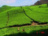
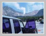
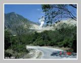
Garut that can be reached by car for around 2 hours or about 90 kilometers. is region around Bandung that offers many interesting places.
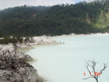
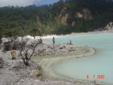
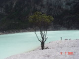
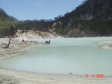
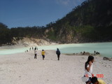
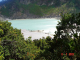
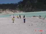
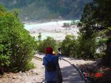
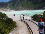
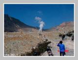
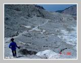
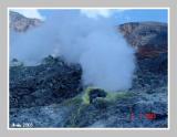
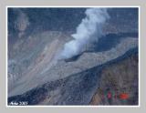
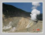
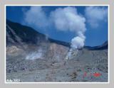
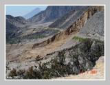
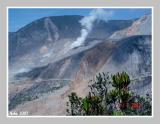
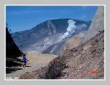
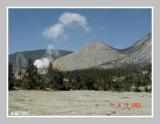
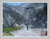
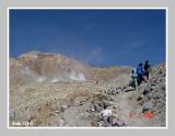
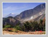
Cipanas a hot water spring is one of good locations to refresh the body and to relax. In Garut you can also see an old temple that is a left over from Hindu Kingdom namely candi"Cangkuang": Exceptionally to reach this temple, visitor should get on top of raft because it is located in the middle of a lake. Still around Garut, visitors can enjoy the beautiful scenery of Gunung Papandayan crater which is still an active volcano.You can reach this place by easily climbing it. if you want to see Gunung Galunggung, then you will have to climb 600 stairs to reach it.
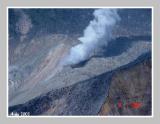
Papandayan volcano | |
| Volcano type | : stratovolcano |
| Location | : Java, Indonesia, 7.32°S / 107.73°E |
| Summit elevation | : 2665 m (8,743 ft.) |
| Last eruptions | : 1772 (moderate eruption followed by a devastating debris avalanche), 1923, : 1942, 2002 |
| Typical eruption style | : Explosive. At present strong fumarolic activity. |
Background
 The crater of Papandayan volcano |  Steam vents on the crater floor of Papandayan volcano |  Sulphur deposits around fumaroles, Papandayan volcano | ||||||||||||||||||||||||||||||||||||||||||||||||||||||||||||||||||||||||||||


Tidak ada komentar:
Posting Komentar